Entry Points:

About Harney County
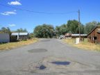
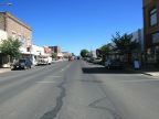
Harney County occupies 10,226 square miles in the southeastern area of Oregon, being the largest county in Oregon. It was organized on February 25, 1889, being divided out of Grant County. The population is 7,609, as of the year 2000, most of whom live in or around the county seat at Burns.
Today the people of Harney County pride themselves in their "wild west" heritage, and one of those "wild west" stories happened right after the county was organized. The county seat was originally at Harney, but the inconvenience of traveling of traveling there from Burns precipitated a fierce political battle to move the county seat to Burns. When this passed by just six votes, the county records were spirited away from Harney in an armed nighttime ride.
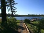
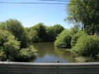
The Harney Basin, a large valley formed by an ancient lake, lies at the heart of Harney County. Harney Lake and Malheur Lakes are two remnants of the ancient lake which occupy the southern are of the basin. The two lakes are connected by a passage called the Narrows. The northern edge of the county is covered by mountains where one of the largest stands of ponderosa pine in America is found, and the beautiful jewel Delintment Lake. A variety of ridges, mountains and plains cover the rest of the county, with a very large share of sagebrush and grassland.
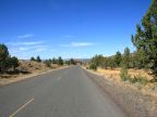
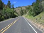
U.S. Highway 20 crosses the Harney Basin east to west, passing through Burns. U.S. Highway 395 enters the county on the western border, joins highway 20 to pass through Burns, and then separates, heading north. Oregon Highway 78 starts at Burns and heads southeast to Burns Junction, a remote place on U.S. Highway 95, in Malheur County.
For More Information:
Visit the official Harney County site at www.co.harney.or.us. Read about Harney County in Wikipedia.